
The Texas state legislature allocated $24 million to Texas Tech for the expansion of the West Texas Mesonet and creation of an advanced weather prediction system.
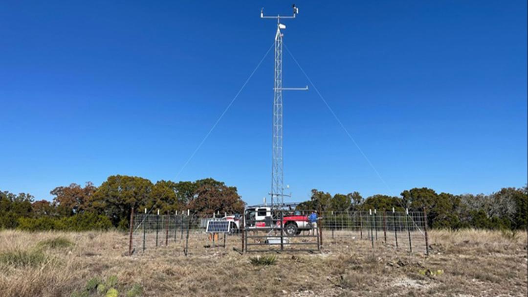
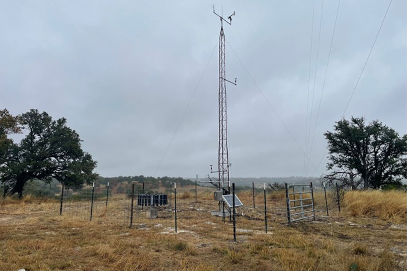
The West Texas Mesonet (WTM), under the watch of Texas Tech University’s National Wind Institute (NWI), has a 25-year history of proven success in accurately and frequently measuring numerous parameters related to weather, such as temperature, wind speed and barometric pressure.
With over 170 stations and counting across the region west of Interstate 35, the network has established a well-earned reputation and trust among forecasters, landowners, community members and officials. And in the weeks following the disastrous flooding of summer 2025 that swept the Hill Country, the Texas legislature sought a solution to improve weather forecasting and flood management.
Texas Tech stood out for its familiarity and reputation.
Senate Bill 5, signed by Gov. Greg Abbott on Sept. 18, allocated to the university $24 million to fund the development of a high-resolution monitoring and modeling network through expansion of the WTM.
At the heart of it all is a determination to provide forecasters and decision makers with real-time information that helps illuminate the best courses for action on the ground.

Jen Henderson, an assistant professor of geography and the environment, says part of the early stages of this effort will involve meeting with Hill Country officials to understand their needs in terms of the type and cadence of risk information relative to their decision-making contexts. In her prior work involving weather disaster research that’s included interviews with emergency managers, meteorologists and the National Weather Service (NWS), it’s the information about weather impact that’s most difficult to quickly access and communicate to the public.
“That information, a lot of experts glean from social media, storm chasers or storm spotters,” Henderson says. “There’s a bit of a delay. They can usually get data about the kind of hydrology and the meteorology more quickly than they can get the information about the societal impacts.”


Henderson joins Texas Tech faculty John Schroeder, Brian Ancell and Brian Hirth as the lead researchers. Schroeder is the NWI senior director and a professor of atmospheric science in the Department of Geosciences, Ancell is also a professor of atmospheric science and Hirth is an NWI research professor.
The project will add mesonet stations and automated rain gauges to the network, install high-resolution radars at strategic locations within the Hill Country and develop a Texas-focused weather prediction system.
Schroeder will be responsible for project oversight and measurement station deployment, Ancell will handle the modeling components, Hirth will focus on the radar deployments and operation and Henderson will learn about users’ risk information needs.
The essence of the project is expanding what the WTM already excels at, to fill in coverage gaps in the region.
Beyond the ability to monitor where and how much rain has fallen in a certain area with new measurement tools, Ancell anticipates generating an ensemble, zero-to-two-day forecast system based on probabilities from running a suite of 100 models.
Additionally, once a storm begins, the system can take measurements and transfer them to a Warn-on-Forecast system that zeroes into an area of the storm to model it and predict what will happen six hours into the future.
“We’re going to run it at a higher resolution than is currently available, and with all those new measurements, we’re augmenting and reducing the uncertainty of what the starting point is for that system,” Schroeder says.
When the team was first contacted to devise this approach, they relied on the 25-year-perspective the WTM had exemplified in providing high-quality data and their experience with deploying radars as a starting point.
Ancell’s development of “operational” forecasting systems over time was also an advantage.
The mesonet has become an everyday tool people can use to make decisions, far surpassing a typical research project based on a single event.
“It’s there to serve people in an operational setting,” Schroeder says. “I think that’s a big difference between a lot of universities and what they do and what we’ve done at Texas Tech.”
Accounting for that focus and additional emphasis on reliable data, Schroeder’s group
felt confident about extending the WTM’s capabilities to improve forecasts meant solely for Texas.
The results won’t be a silver bullet, Schroeder says. The threat of future flooding won’t subside any time soon, but the hope is to provide better warnings and increase average lead time that prompts better communication and reactions.
Procurement of new equipment has been part of the project’s initial phases, in addition to meetings with related agencies and forecast offices and the need to find sites for radars and measurement stations.
The current WTM network reaches the edges of the Hill Country, but Schroeder anticipates filling gaps in the area south of Interstate 20, west of Interstate 35 and north of U.S. Highway 90 with more than 40 weather stations for observation.
There are five NWS radar systems operating on the region’s periphery, but those beams have difficulty providing adequate data coverage over portions of the Hill Country, according to Hirth.
“Radar can't shoot through the ground, so to provide accurate rainfall estimates, we need a clean, 360-degree line of sight for the new radar systems to be able to observe the lower atmosphere as clearly and as far as we can, in all directions,” Hirth says. “So, we've already started the process of extensively searching Google Earth and looking at terrain maps to identify the ridge lines and high terrain where we can deploy the radar system so they're sitting on local high spots.”
They’ve identified 30 potential sites across the region, but the next step requires answering various questions regarding feasibility. Sites require nearby power and communication capability through cell coverage or fiber optics, as well as arranging land leases with the corresponding private landowners.
Hirth, Schroeder and network manager Wes Burgett have extensive experience installing weather stations and radar sites and working with landowners, the latter of which always presents unique challenges. The WTM normally involves handshake agreements regarding deployments of non-intensive towers with small footprints, but this project will differ due to the larger magnitude radar systems.
Radar sites will include towers with radar equipment on top that amount to 60- to 70-foot-tall structures, requiring more substantial foundation and potentially, additional power lines. This effort will likely necessitate formal agreements and leases, but Hirth hopes they can repeat in the Hill Country their past success in earning familiarity and trust in West Texas.
The project is off to a good start, with the team completing two mesonet stations in Kerr County in December 2025.
Another factor for this project will be the large computing cluster needed to run the 100 simultaneous but varying forecasts for Ancell’s ensemble forecasting system, from which the entire project will benefit by focusing the domain on Texas alone.
Ancell plans on running forecasts four times a day, and with each one, the system will ingest new information and produce better forecasts.
The challenges with such a large system will include reliability, Ancell says, with countless moving parts and stakeholders needing the information produced, as well as the visibility aspect of making connections with the places who can use the data.
Beyond addressing the catalyst for the project in the summer flooding events, both Ancell and Hirth see a larger potential impact. While saving lives is the top priority, the stations and ensuing forecasts can be used to inform diverse user groups statewide for high impact weather events that can disrupt power, transportation and other aspects of public safety.
“We want our program, this team, Texas Tech, to become the lead entity when anyone thinks, ‘We want to understand what's going on with the weather across the state,’” Hirth says, “We strive to be the place they come to get that information.
“While the near-term project focus is on the Hill Country for flood response, we’re thinking much bigger in how we’re organizing and developing the entire system.”
What will be key to remember as the group designs products for decision makers on the local, state and national levels is the range of experience individuals in those positions have.
Some emergency managers are also trained as meteorologists, Henderson says, which complements their practical experience, while others may have begun as first responders who rarely saw weather as a core part their work. Consider the contingent of public safety volunteers as well, many of whom serve rural communities without funding for formal training in meteorology, and the result is a multifaceted task facing Texas Tech researchers concerning how to stitch together meaningful information together relevant for each user.
This is where Henderson’s specialty in translating research from a basic knowledge base to an applied and operational context factors into the project. She looks forward to addressing with the team the threat of weather disasters from multiple angles—which differs from the common, academic frameworks that try to solve an overarching problem from a single discipline.
The reality of the two-year project implementation timeline is not lost on the group. Schroeder marveled at the opportunity to look up when the forecasting system is assembled and operating and see it used to save lives and protect property.
Ancell also looks at the deadline as a starting point, in that if the job is done correctly, the project will continue indefinitely as the researchers seek to improve upon a strong foundation by always being on the cutting-edge and striving for more accurate forecasts to inform decision makers.
For Ancell and Hirth, the project’s magnitude and potential impacts are bigger than anything else they’ve been a part of over the more than 15 years spent at Texas Tech.
It’s the culmination of the WTM’s history of good work and established relationships built through consistency and grit. The project stands apart in its dedication to serving and protecting citizens of Texas, Hirth says, marking itself as a huge responsibility and privilege.
By the project’s two-year deadline, he adds, it will have evolved into a system rivaled by few across the U.S. in terms of the amount of measurements and the resolution and quality of the modeling. The system’s usability and usefulness to decision makers is also key.
“It will be very unique to the state,” Hirth continues. “Texas will become a national leader in how to prepare for and respond to high impact weather events, and we at Texas Tech will be responsible for implementing and maintaining that system.
“This project represents a massive opportunity to showcase all NWI's unique expertise, experience and strengths to serve the state and its citizens.”
Schroeder echoed Hirth’s comments about the work Texas Tech has done to be recognized by the state.
“Now you’re saying, ‘You know what? We’re putting you in the game, bringing you up to the majors,’” Schroeder says. “‘We need you to bring this to life to help Texas.’ That’s something I’m pretty proud of.”